

Project Overview
Achwa Hydropower Project 3 is a run-off-the-river hydroelectricity project with an average flow of 65.5 cubic metres (2,310 cu ft) per second and a gross hydraulic head of about 12.5 metres (41 ft).

Scope of work
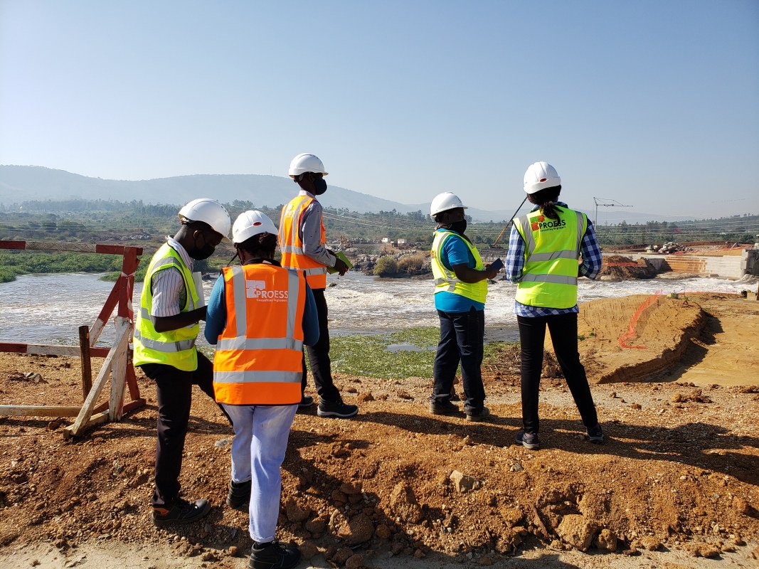
Proess was contracted to carry out a Topographical Survey, Bathymetric Survey and Geotechnical Investigations, Test pits excavation (with Analysis) and establishment of temporary benchmarks of the Project.
Services offered
- Conducted bathymetric survey along with the river profile where the plant structures were proposed to be.
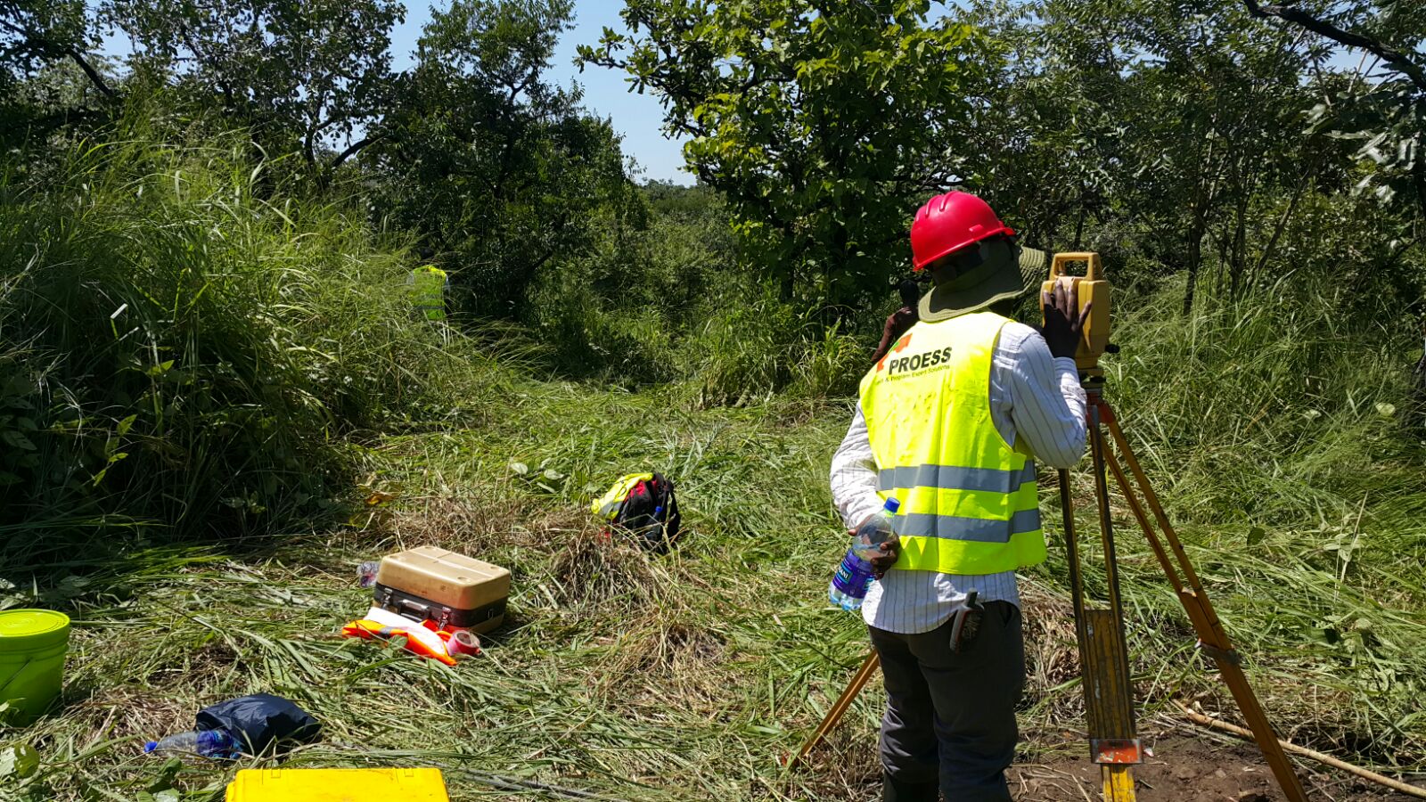
- Used a well-calibrated RTK and a Total Station to pick precise coordinates for all proposed project structures.
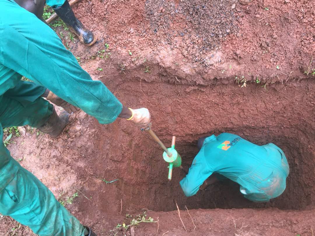
- Established 15 Test Pits of depth 3-5 metres along the selected project structures.
- Conducted Geotechnical investigations.
- Undertook laboratory tests of the soil from the test pits.
Location: Pader District, Northern Uganda
Client: ARPE Limited
Period: August – September 2015