Project Overview
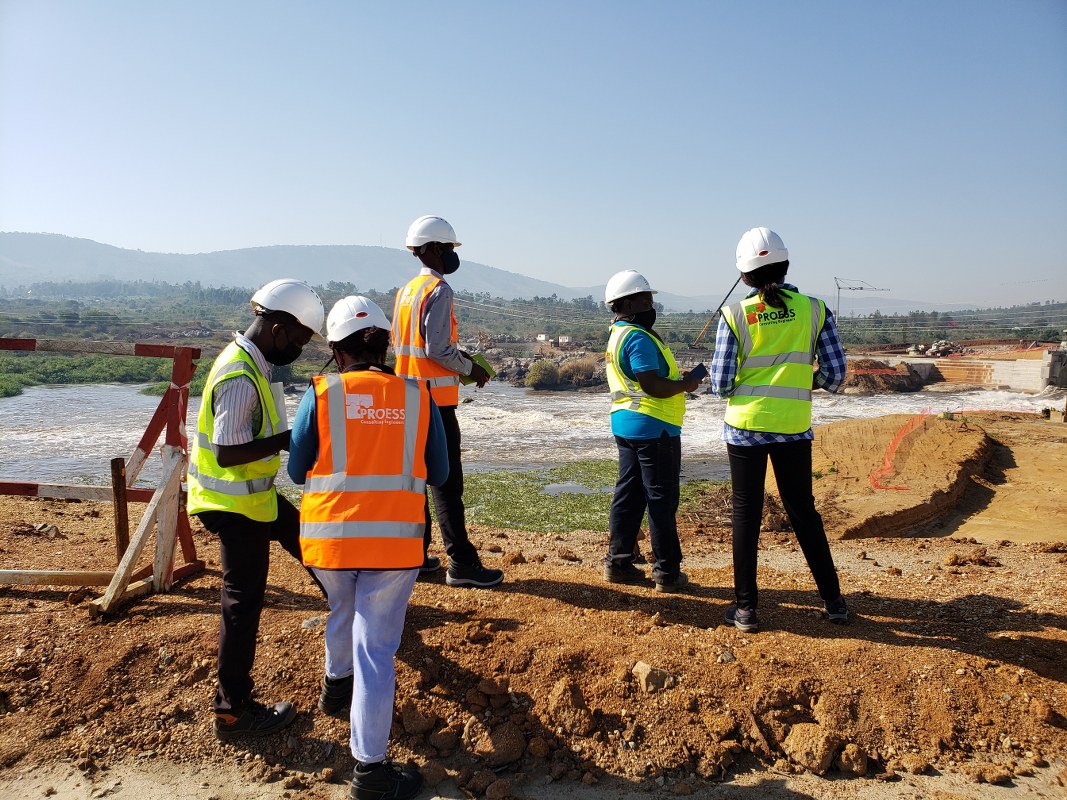
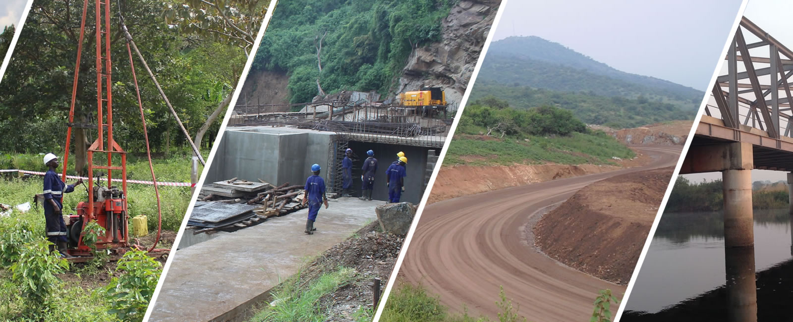
Kikagati Hydropower Project (KHPP) is a 15.5 MW Transboundary Hydropower Plant currently operational. The power station is located on the Kagera River which is the main tributary to Lake Victoria, along Uganda’s International border with the United Republic of Tanzania. The site is accessible via the Mbarara – Isingiro – Murongo Highway.
Scope of work
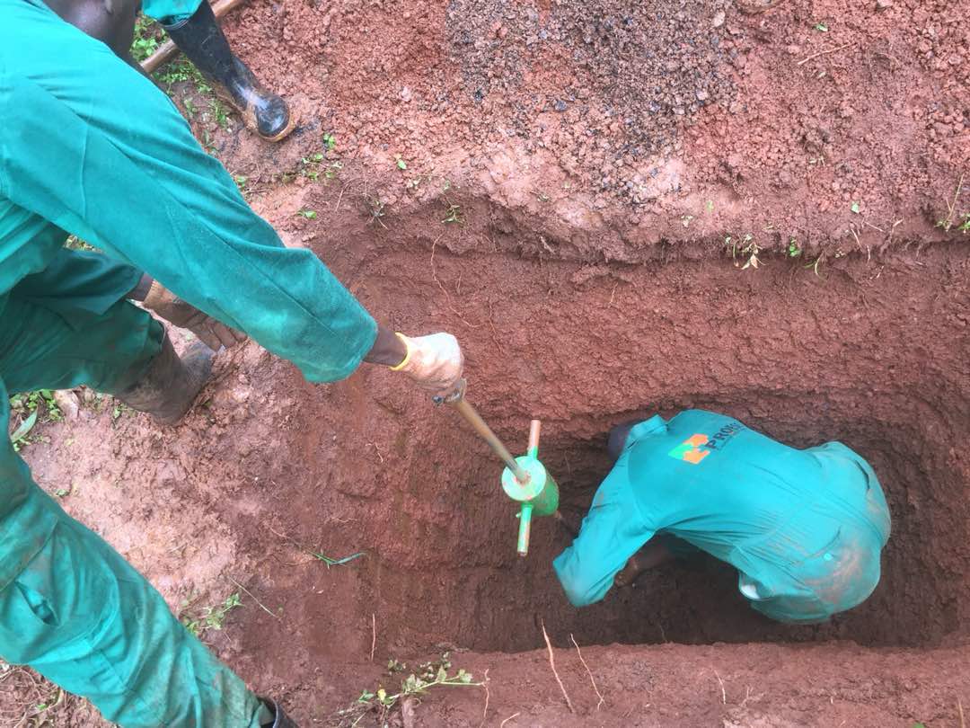
Proess was engaged to carry out a Topographical Survey of Kikagati site.
Services offered
- Used a well-calibrated RTK (double and single-frequency GPS Unit), and picked coordinates of features on the site.
- Preparation of topographic maps using AutoCAD Civil 3D software.
- Preparation of reports.
Location: Uganda/Tanzania
Client: Kikagati Power Company Limited
Period: March 2018