Project Overview
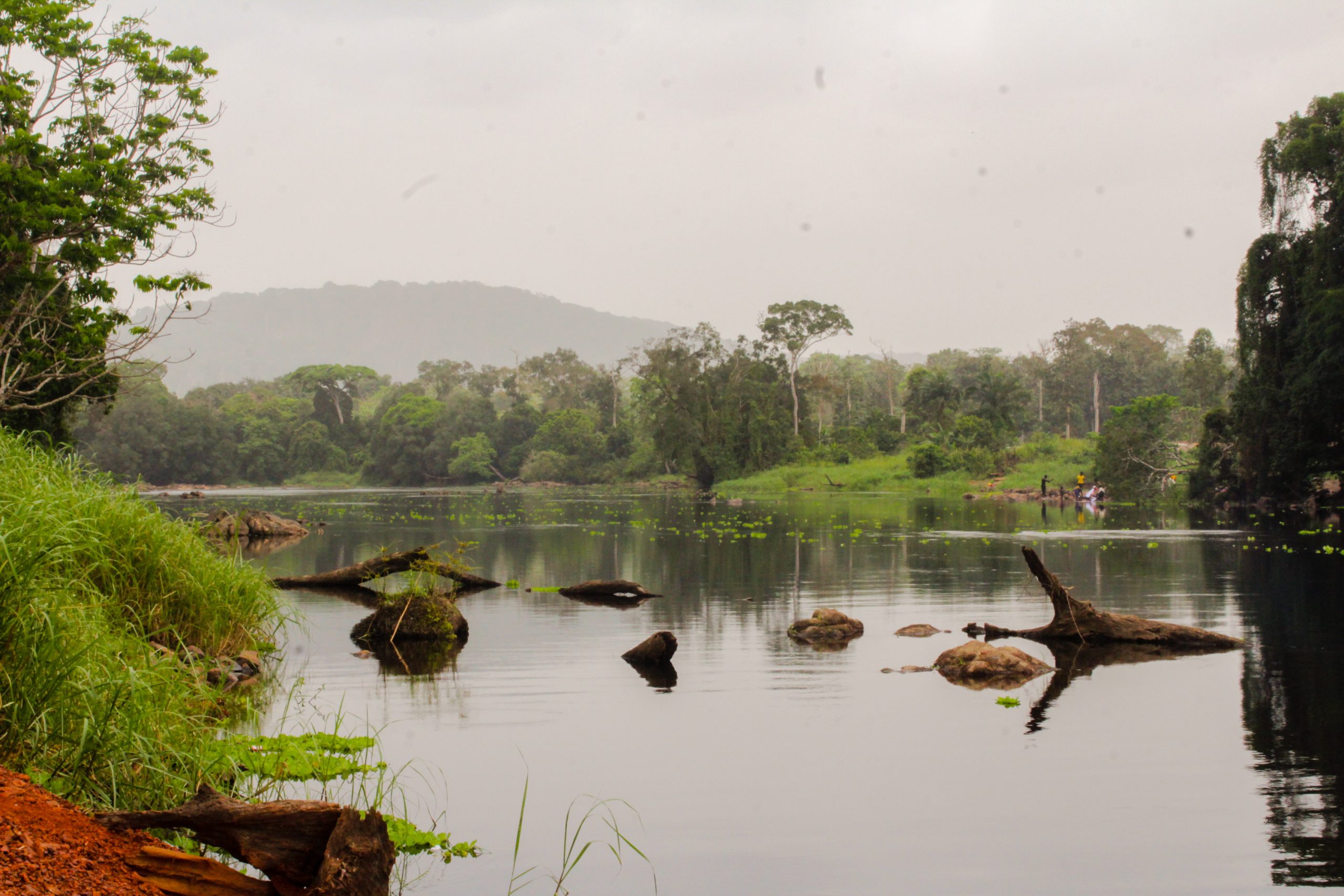
Kikagati Hydropower Project is a 15.5 MW Transboundary Hydropower Plant currently in operation. The power station is located on the Kagera River which is the main tributary to Lake Victoria, along Uganda’s International border with the United Republic of Tanzania. The site is accessible via the Mbarara – Isingiro – Murongo Highway.
Scope of work
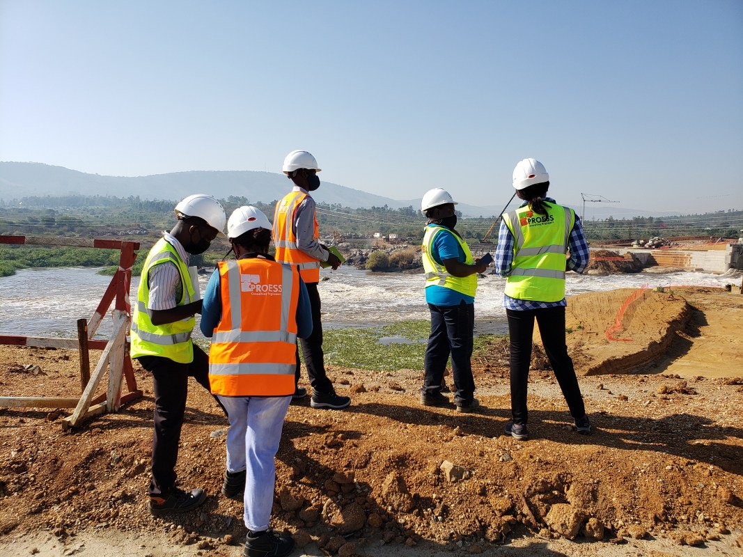
Proess was contracted to carry out a new topographic survey (including bathymetric survey) from downstream of the rapids for 1 km on Kagera River.
Services offered
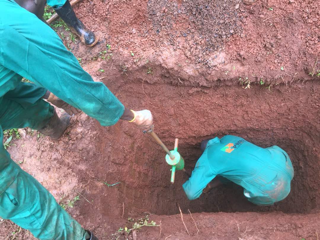
- Conducted a bathymetric survey along the river profile, especially where the plant structures were proposed.
- Used a well-calibrated RTK (Double and Single Station GPS Unit) and Total Station to pick precise GPS locations for all the proposed project structures.
- Developed a tailwater rating curve for Kikagati Hydropower Project.
Location: Isingiro District, Western Uganda
Client: Kikagati Power Company Limited
Period: November 2018